Today we put in a double hiking to and activating two 10 point high elevation summits.
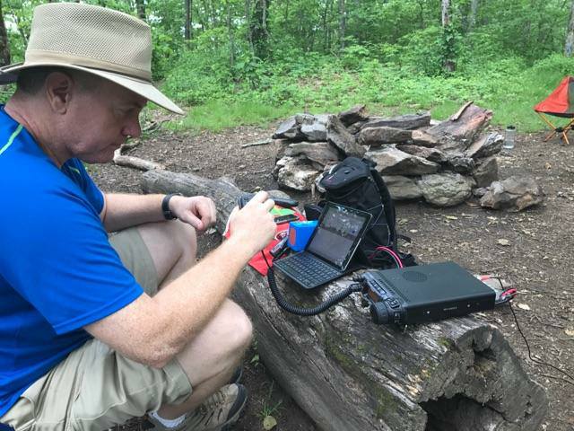
Tray Mountain was the first. We parked at a parking area off the Forestry Service road and hopped on the AT. The hike up Tray is fairly steep to an elevation of 4,430′ 1.4 mile round trip. The rhododendron was blooming up top and the views were spectacular. I made a summit to summit contact on VHF with 5 watts to a station in Taledega, Al. I also made a Summit to Summit with Ryan KK4OSG who was in North Carolina. I contacted Doug N4HNH in Suwanee, GA and another station as well to make the required 4 contacts to activate the summit. Since we had plans to hike Rocky Mountain the same day I chose not to set up the HF Gear. Doug N4HNH and Ryan KK4OSG are friends local to my home QTH. We talk on simplex quite often. Lynn and Izzy accompanied me on today’s hikes. No dogs this time. We missed having them along for sure.
We raced down the mountain, drove a few miles back the way we came on the FS road and then picked up another FS road to another parking area where the AT crossed. We jumped on the trail and headed to the summit of Rocky Mountain. (As I mentioned in a previous post, there are several Rocky mountain’s in GA) This was a steep climb. 3.2 miles round trip to an elevation of 4,014′. (1000′ elevation gain in 1.6 miles!)
On this trip I had downloaded the GPS tracks from some SOTA guides on the site from the double Goat Pat KI4SVM. These are very helpful for keeping up with your progress and more closely match reality on the trail than a topo map. Many times the switchbacks don’t show up on the topo’s. I am going to try and post all of my pics through Flickr so I can caption them and save storage space on the web hosting site.
